The Places Between 15
Garrison Cove
Harpswell might just be the number 1 town in the state of Maine when it comes to free public coastal sites. The town's geography epitomizes Maine’s coastline. The craggy inlets run up and down both sides of the town, which splits in two before quickly turning into a series of smaller islands.
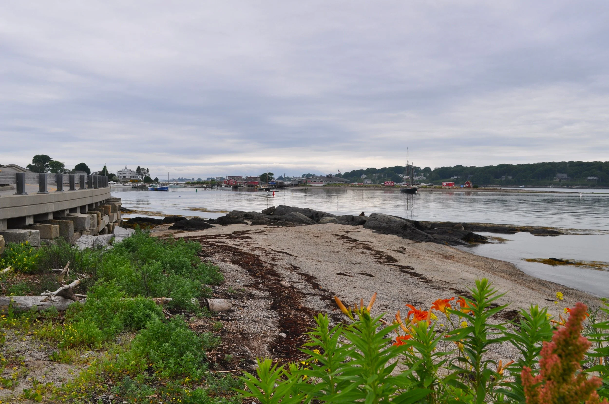
Driving through Harpswell is always a beautiful adventure, catching sights of the state’s recreational opportunities and maritime industries. On my way to Bailey Island, I stopped at Salt Cod Cafe/H2Outfitters and made room for a group of kayakers who were landing after a morning row across Garrison Cove. A small, unpaved boat launch gave me just enough space to collect some clear shots of the cove that hugged Bailey Island Bridge and bordered the lobsterhouse across the water.
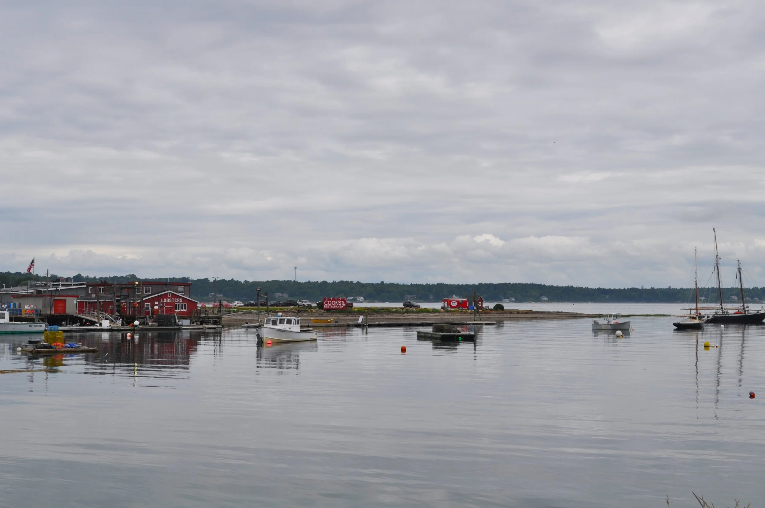
Lobster boats continued to come in and out of the cove, as I drove the low and long winding bridge that connects Bailey Island to the rest of Harpswell. Another restaurant decorated the roadside at its end, and a quick stop gave me a fresh perspective on the cove and its inhabitants.
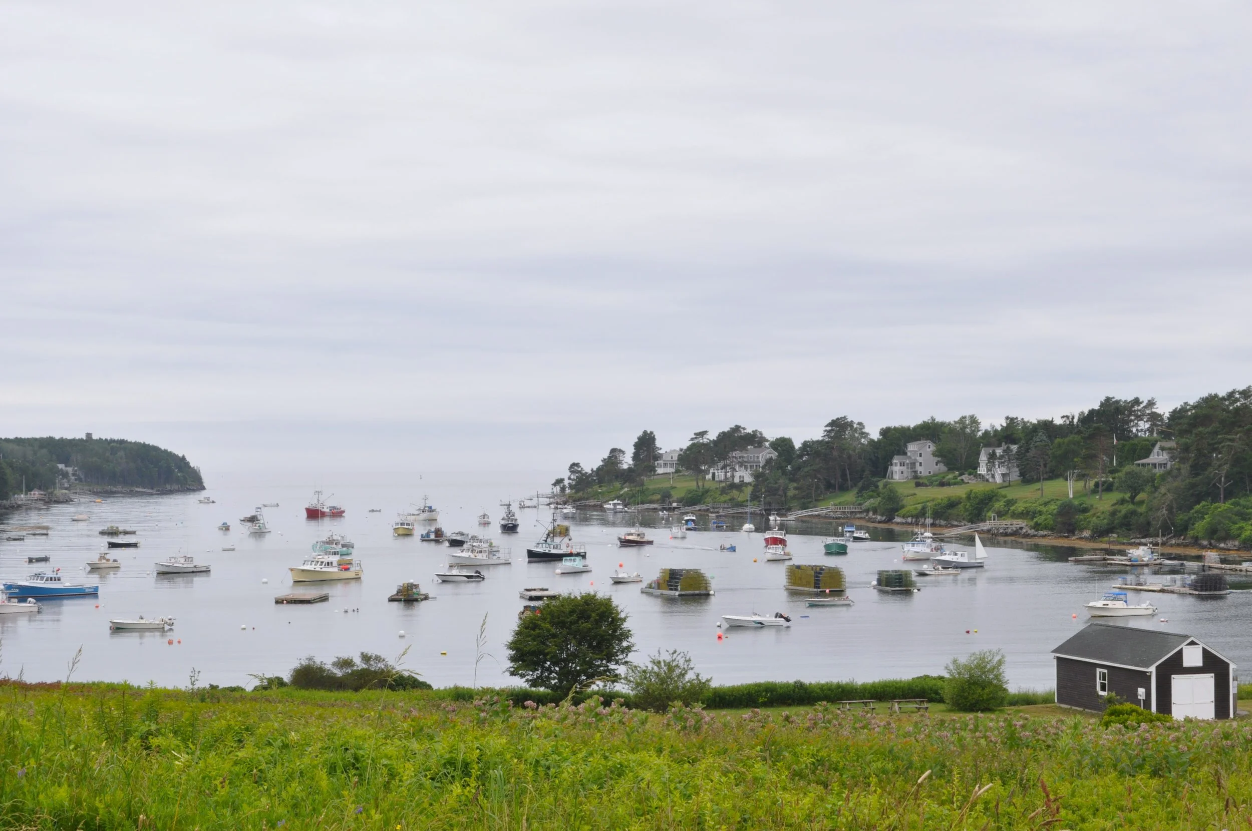
On the other side of Bailey Island is another cove: Mackerel Cove. Like Garrison Cove, it’s filled with working fishermen, lobstermen, and people eager to enjoy a boat ride on a nice, summer day. Much of the neighboring field is open to the public and its grand views of the cove invite both wedding parties and fishing storage. The perfect dichotomy of Maine’s coast.
But the further south I drove, the more expensive the houses and the more abundant the ocean views became. I finally arrived at the tip of Bailey Island where a sand and pebble beach was filled with children, getting their last moments of summer before the school season started again. Great white sharks were supposedly spotted from the shores this year, but I never encountered them.
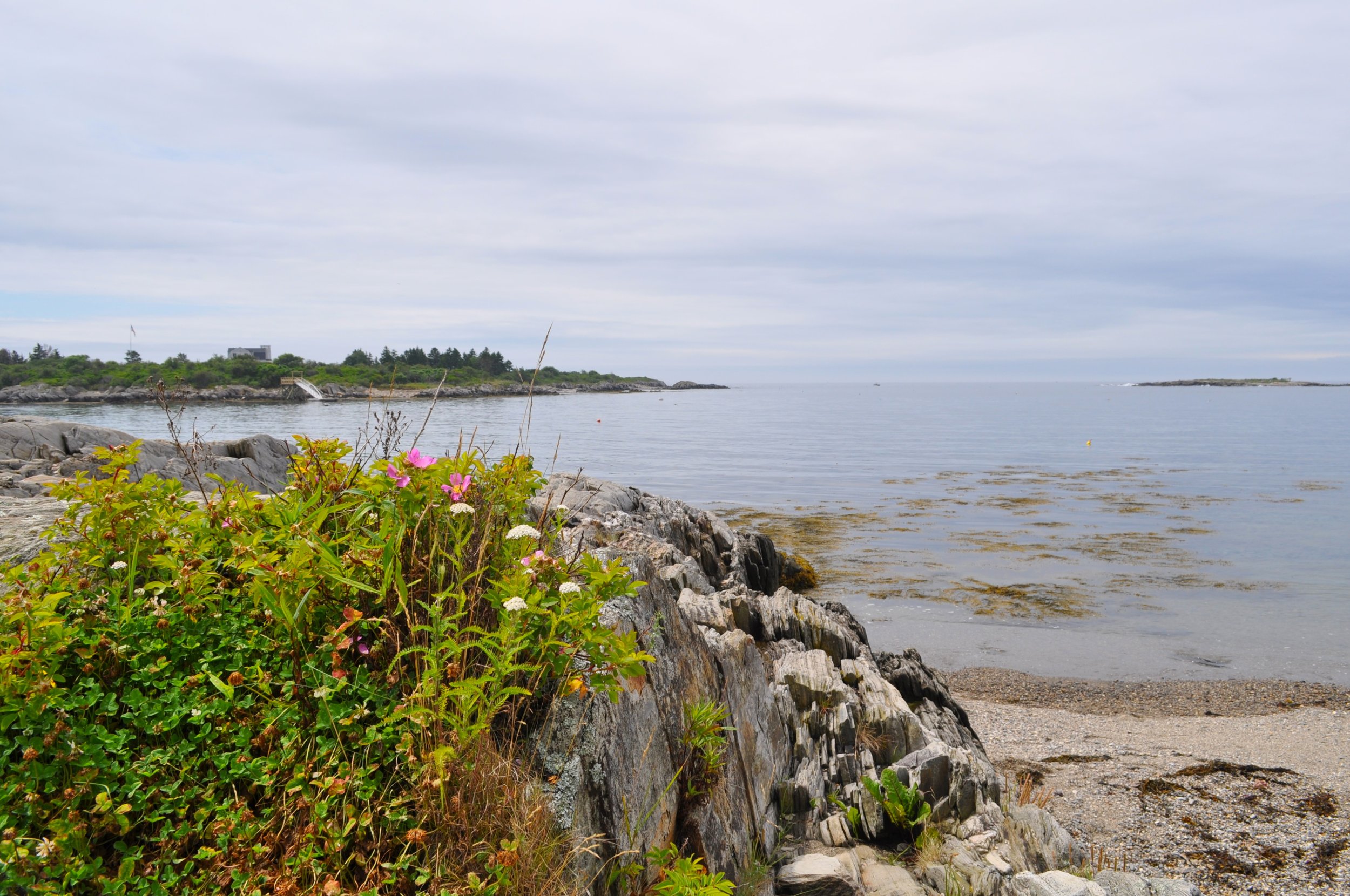

I did, however, explore the short path that looped around the rocky outcropping, leading to a stationary binocular that gave greater depth to the ocean views. Bees nestled into the wild roses and buzzed around a large statue of Elroy Johnson, a local lobsterman and fisherman who worked diligently during the first half of the 1900s. Johnson founded the Bailey Island Tuna Tournament in 1938, bringing a new source of economic opportunity during the Great Depression, and went on to establish the lobster industry in the World Fair in 1940. He’s since become a representation of the fishing and lobstering communities.
It was a separate, cold evening when I decided to make the drive again to Bailey’s Island. After a particularly challenging day, I needed to see the ocean. Having never seen the Giant’s Causeway while in Ireland, I was immediately curious about the Giant’s Stairs in Harpswell. As far as I’m aware, there are no legendary giants reported to cross the land, but instead, the area is named after the gigantic forces that led to the stair-like pattern of rocks. Around 200 million years ago, magma flowed between the rocks, fracturing them. The magma eventually cooled and, in time, erosion caused more fractures, resulting in the “staircase” we see today. The autumn dusk sent whispers of winter across the rocks as I stood by the shore. The moon was nearly full, hanging overhead while I walked a couple hundred feet down the trail. I saw a few locals fishing, walking, and braving the cold as I was, but as the sky became dimmer, I turned back before I could no longer see the trail ahead of me.